Fitrockr & Garmin Help Researchers to Use Wearable Data to Grade Trail Difficulty in South Africa’s Nature Reserves
Apr 21, 2023
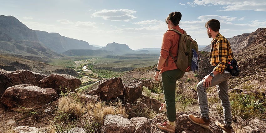
Our new joint project with Garmin Health is using Garmin wearable data to measure and grade trail difficulty. By using a combination of objective physical data, analysed via the Fitrockr Health Solutions platform and participants’ subjective feedback, the University of Pretoria will apply a grading system to each trail, making it easier for people to decide which is the most suitable when visiting nature reserves of the city of Pretoria.
The University of Pretoria Department of Geography, Geoinformatics and Meteorology combines researchers from geospatial science, human and physical geography, environmental science and atmospheric science. For this new project, researchers from the department are aiming to model energy expenditure (average energy expenditure per gender) for the walking/running trails of nature reserves using geographic information systems. A grading system will be applied to each trail based on aspects that include difficulty, time spent, trail gradient and expected energy expended. It is hoped that the results will contribute to better management and decision-making for green spaces, a more informed public, improved population health, and reduced risk of injury and emergency callouts.
Organisers said,
“Garmin is one of the most used brands in the population visiting our nature reserves. Thus, we believe collaborating with Garmin will enhance our research data to an extent we could otherwise not achieve. Furthermore, existing Garmin users are invited to contribute to the success of this research project. We will be able to better verify the data and more accurately assign a difficulty level to each trail. The Fitrockr platform based on the integration of the Garmin Health API and Activity API further enhances the usability of these volunteered data, as it allows for a simple onboarding and data sharing, as well as analyses once data is collected.”
Existing Garmin users will be able to volunteer to share their wearables data as well as complete online surveys, so researchers can learn more about how visitors are experiencing the nature reserves. Participants will share activity details including speed, distance, ascent and descent, elevation, time of day, hike duration, total calories burned and active calories, average pace, heart rate, training load, cadence of the hike and more through the Fitrockr Health Solution platform. All these factors, particularly energy expenditure (calories), will help determine the difficulty level of a walk/run.
The team at the University of Pretoria has plans to further complement their trail guidance to include things such as temperature and humidity, as well as health metrics related to common conditions including hypertension, cardiovascular disease, diabetes or respiratory illness, to fine-tune the grading system and increase accessibility.
Fitrockr is a leading health and fitness data analytics platform that empowers organizations to connect, manage and analyze data from wearables. Designed for research, clinical studies, healthcare, coaching and fitness gamification, Fitrockr enables seamless integration of biometric and activity data, providing deep insights through advanced analytics, dashboards, reports and raw data downloads. Automated alerting, push notifications, surveys and outcome assessments support data collection. With a focus on data privacy, security, and local hosting options, Fitrockr supports global institutions in transforming raw health data into actionable outcomes. Learn more at www.fitrockr.com.
© Digital Rebels GmbH. All Rights Reserved.